Coastal walk Kilrenny to Crail
A smaller-then-planned group did the walk from Kilrenny to Crail on Sunday 15th March (family-related caution or needing to work regarding coronavirus caused a few of the cancellations).
You will see below that our aim to check on some of the sites listed on the scharp.co.uk website was mixed.
At least two recommendations:
-
Get a decent smartphone, my own cost £40 and takes ages to download any maps etc. Luckily on the day Sue Hamstead’s phone was much quicker to respond.
-
Read the site websites the day before you do the visit and especially look at any photos, this will mean you will have some idea of what you are looking for (I had looked at the scharp.co.uk website but c. two weeks before the walk, at the age of 63 my memory does not retain that much data for that length of time).
With the low numbers we used one car and parked at Kilrenny starting the actual walk around 9:30. We got back to Crail about 1 p.m.
We were not able to identify the first site (Kilrenny Mill grid reference NO 58950 04950, http://scharp.co.uk/sites-at-risk/1461/ ). We thought we had found a mooring post at the one of the rocky inlets but this turned out to be a memorial post to a loved one.
The second site (Deserted Settlement; Carved Stone NO 59200 05300, http://scharp.co.uk/sites-at-risk/1464/ ) was up a slope away from the shore and on the other side of a field containing a large bull, discretion being the better part of valour we did not want to risk an encounter with the bull.
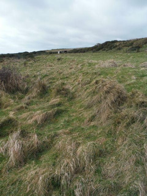
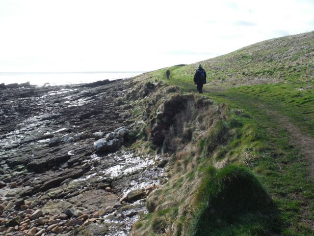
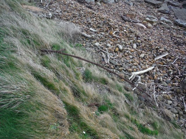
We think we found the third site (Caiplie enclosure NO 59800 05700, http://scharp.co.uk/sites-at-risk/1465/ ). See first photo below.
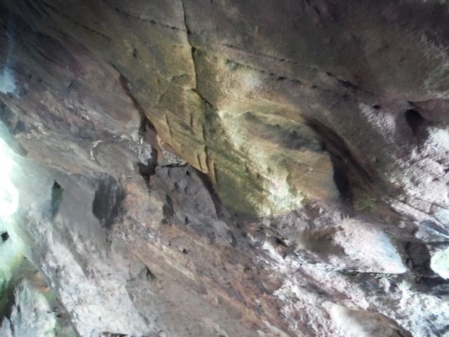
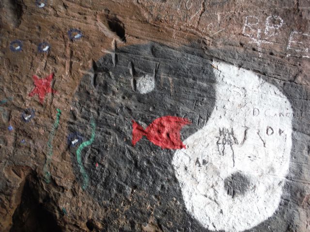
Plenty of modern graffiti (including a ying and yang religious painting, main photo above?) at Caiplie Caves (Caiplie, 'The Coves' Alternative Names: Caiple Caves NO 59980 05830, http://scharp.co.uk/sites-at-risk/1467/ ) but the ancient crosses can still be seen.
We could possibly make out a bump in the field at the fifth site....
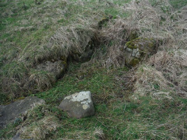
(Barns Mill Fort NO 59990 05920, http://scharp.co.uk/sites-at-risk/1468/) . Also several large stones in the field wall perpendicular to the coast as well as the field wall along the top of the slope, could these have been reused from the fort?
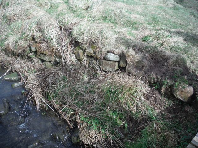
The Coves, Ruins Of Barns Mill NO 60111 06006, http://scharp.co.uk/sites-at-risk/1478/ was found even though some of us had walked past it. There was a depression in the ground plus stonework just above the modern wooden footbridge – was this part of a water source for the mill?
1482, Salt Pans tile works, NO 60530 06549 [existing ruined building], 1481, Salmon Fisherman's Cottage, NO 60598 06573 [existing ruined building] plus Crail, The Pans, Harbour NO 60598 06484, http://scharp.co.uk/sites-at-risk/13459/ were the most obvious of the sites.
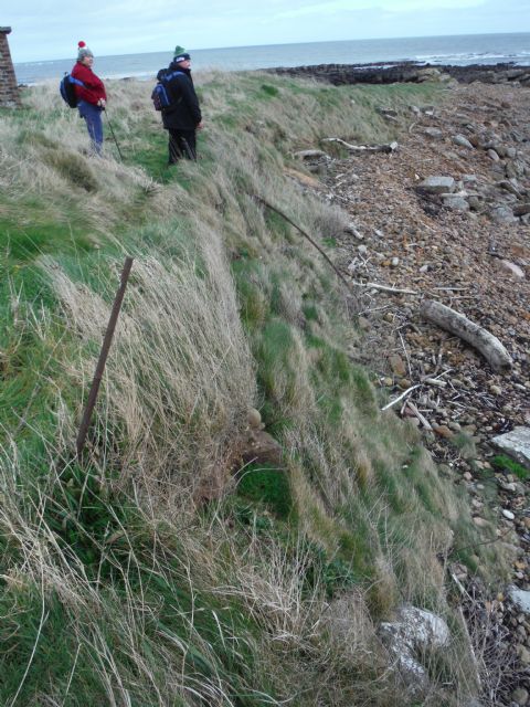
Crail Salt Pans NO 60798 06754, http://scharp.co.uk/sites-at-risk/1480/ took a while to spot – just the remains of three walls sticking out of the sea-cliff.
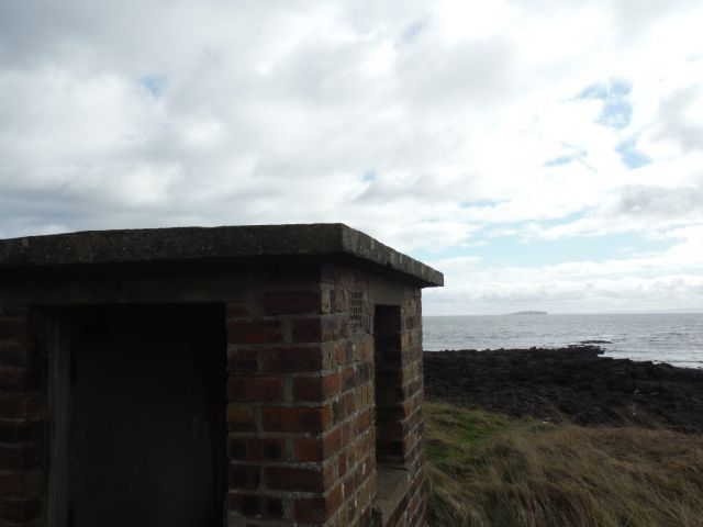
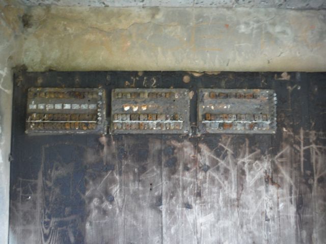
The hut and the cables sticking out of the sea-cliff were still in evidence at Crail West Ness Ww2 Indicator Loops NO 61063 06943, http://scharp.co.uk/sites-at-risk/12662/
If you hover your cursor over the photos below a description should appear.
